Catalog Archive
Auction 163, Lot 80

"Nord Americanische Freistaaten", Winckelmann, Edward

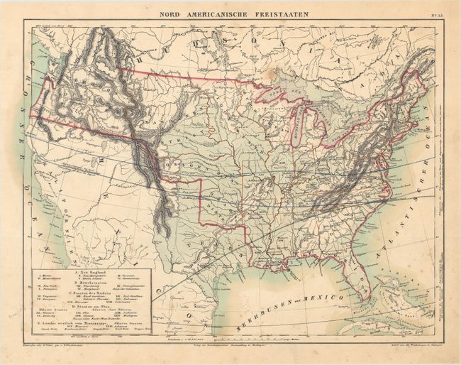
Subject: United States

Period: 1836 (circa)

Publication:

Color: Hand Color

Size:
13 x 9.9 inches
33 x 25.1 cm
Download High Resolution Image
(or just click on image to launch the Zoom viewer)

This uncommon German map delineates 24 eastern states and the territories of Missouri and Arkansas. Lands to the west are labelled as Indian districts including Huron, Sioux, Osage, and Ozark to name a few. A key at bottom left lists the states by region, and identifies Tennessee, Kentucky, Missouri and Arkansas as slave-holding. Texas is named and still part of Mexico. Much of the interior is colored in light blue which appears to be an indication of lower elevation (plains regions). Drawn by D. Volter.

References:

Condition: B+

Light scattered foxing.

Estimate: $220 - $250

Sold for: $160

Closed on 6/14/2017

Archived