Catalog Archive
Auction 163, Lot 435

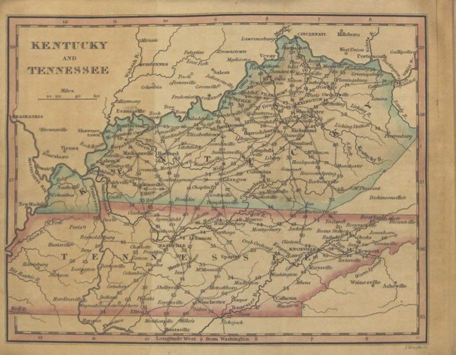
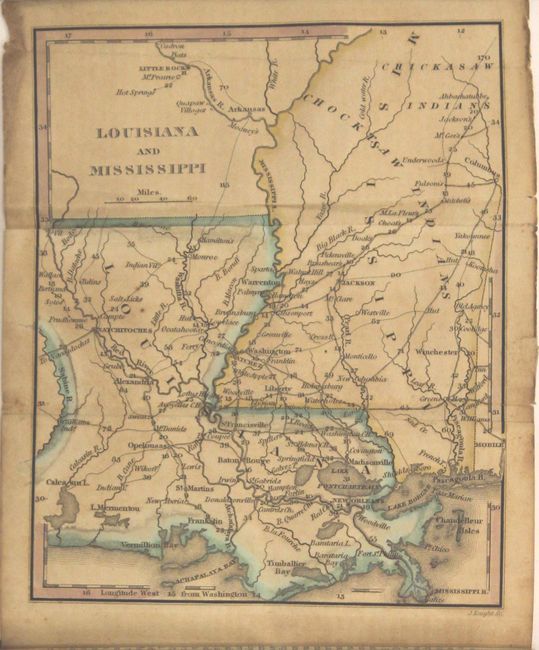
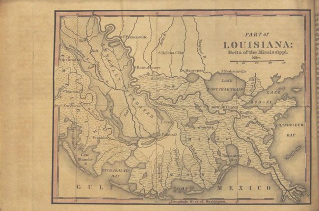
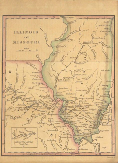
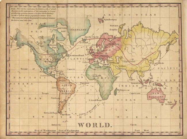
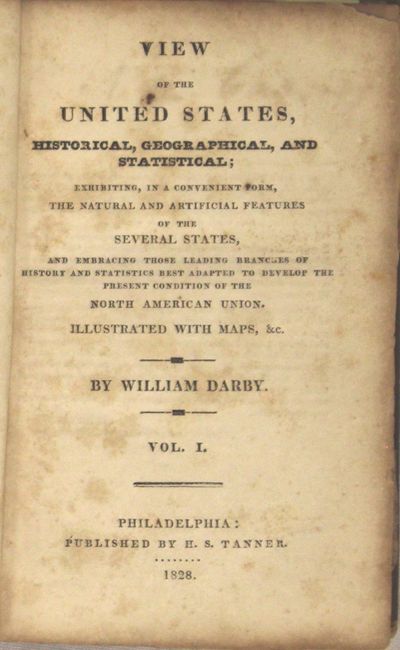
"View of the United States, Historical, Geographical, and Statistical ... Vol. I", Darby, William

Subject: Geography Books

Period: 1828 (published)

Publication:

Color: Hand Color

Size:
3.8 x 5.9 inches
9.7 x 15 cm
Download High Resolution Image
(or just click on image to launch the Zoom viewer)

This charming book contains eleven nicely engraved maps that focus on the United States and an attractive map of the world that has a red line showing the northern limits of grain cultivation and marks the boundary between the horse and rein deer. The small (6.4 x 4.8") folding maps all show good detail with roads, topography, towns, Indian villages and reservation lands. Volume I only, 330 pages with 12 maps (of the 14 included in both volumes). This volume contains both the interesting Falls of Niagara and Adjacent Country and Part of Louisiana; Delta of the Mississippi maps. Hardbound in original brown leather with gilt title on spine. Published in Philadelphia by H.S. Tanner. These maps also appeared in Tanner's A New Pocket Atlas Of The United States also published 1828.

William Darby was an American geographer and cartographer of Irish descent. At the end of the 18th century he was owned a cotton plantation in Mississippi Territory and gathered a lot of data for his later important mapping of the region. In 1804 he gave up his plantation and took up a post of deputy surveyor in the United States General Land Office. During the War of 1812 he served with Andrew Jackson as a topographer. Darby wrote a number of books and articles about the southern states, many illustrated with maps.

References: Howes #D67; Sabin #18535.

Condition: B

Maps are toned with a little light offsetting and a few short fold separations, edge tears, and extraneous folds. Text is toned with scattered foxing. Covers scuffed, bumped, and nearly detached. Spine is sound.

Estimate: $700 - $850

Sold for: $500

Closed on 6/14/2017

Archived