Catalog Archive
Auction 163, Lot 429

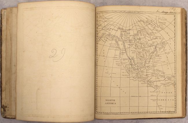
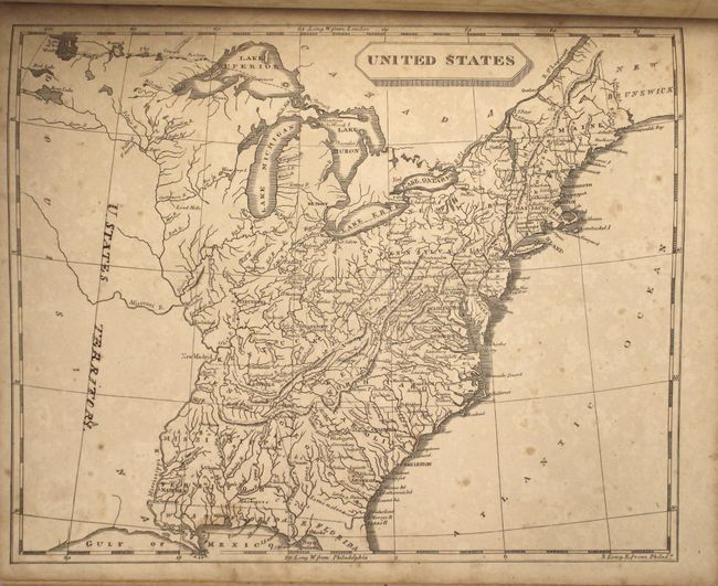
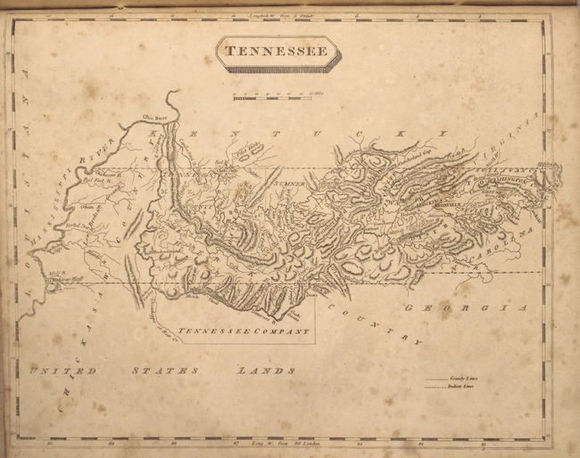
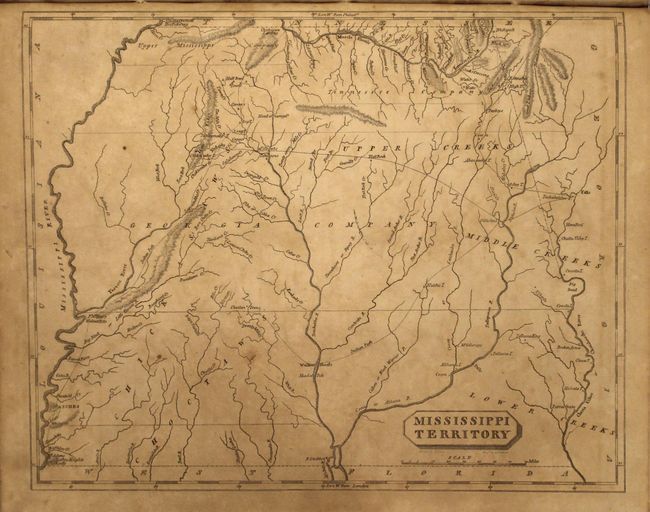
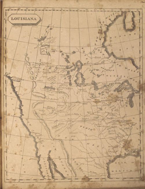
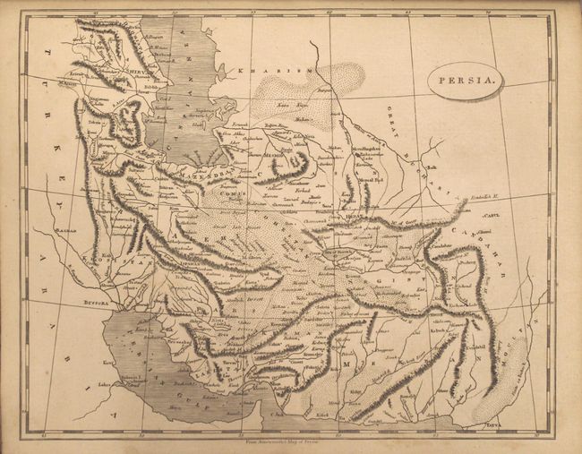
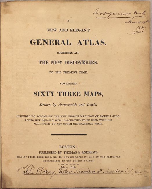
"A New and Elegant General Atlas. Comprising All the New Discoveries, to the Present Time. Containing Sixty Three Maps...", Arrowsmith & Lewis

Subject: Atlases

Period: 1812 (published)

Publication:

Color: Black & White

Size:
9.1 x 10.9 inches
23.1 x 27.7 cm
Download High Resolution Image
(or just click on image to launch the Zoom viewer)

This important little American atlas is nearly complete with 62 (of 63) uncolored, copper-engraved maps of the world, continents and countries, and U.S. states and regions; 55 that are from the 1804 edition, plus seven additional maps (missing only Europe). Of particular interest is Louisiana, which is highlighted by the "Mtns de la Roche or Stoney Mtns." Paul Cohen describes this map in Mapping the West, that, although as equally inaccurate as the Soulard version, "[the Samuel Lewis map] ... was the primary map of the newly purchased territory of Louisiana and its surroundings and, as such, reflected and shaped American popular geographical images of the western interior at the time of Lewis and Clark." Other American maps of note are early Tennessee, Ohio, Mississippi Territory, British Possession in America, and Spanish Dominion in North America. The map of Australia shows an incomplete southern coastline, but a completely insular Tasmania. Quarto, hardbound in quarter leather over marbled paper boards.

References: Cohen, p. 80; Phillips (A) #718; Wheat (TMW) 259, 260, 261 & 262.

Condition: B

The maps range from good to near fine, with the majority being good (B) with toning and foxing. Several desirable maps are in near fine (A) condition including North America, Australia, China and Japan. The maps of South America and Asia are detached, and the map of the United States has a few manuscript notations in the image. Covers are heavily worn and chipped.

Estimate: $1,400 - $1,700

Sold for: $1,000

Closed on 6/14/2017

Archived