Catalog Archive
Auction 163, Lot 425

"West Indies", Finley, Anthony
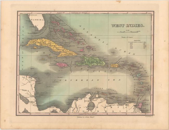
Subject: Caribbean

Period: 1829 (circa)

Publication: A New General Atlas...

Color: Hand Color

Size:
11.3 x 8.7 inches
28.7 x 22.1 cm
Download High Resolution Image
(or just click on image to launch the Zoom viewer)

Finely's maps employ a delicate and elegant engraving style and provided extensive topographical and watershed information. He was the dominant map maker in the United States in the early 1820s into the 1830s. His atlases were very successful, outselling rival atlases by Carey & Lea, and Tanner. His maps were printed on high quality paper and were routinely corrected and updated.

This attractive map covers the entire Caribbean Basin along with the southern tip of Florida, the Yucatan, and the northern tip of South America. A color-coded key identifies the possessions of the Spanish, British, French, Dutch, Danish, and Swedish. In Florida, Tampa Bay is labelled B. Spiritu Santo. Topography is shown in profile on Cuba and Hispaniola, and there is good coastal detail throughout. Engraved by Young & Delleker. Finley published his atlases annually between 1824-1834, with one final edition appearing in 1836 (Ristow states his last atlas was 1834).

References: Phillips (Atlases) #752-32; Ristow pp 268-70.

Condition: A

A dark impression with a few faint spots.

Estimate: $50 - $70

Sold for: $35

Closed on 6/14/2017

Archived