Catalog Archive
Auction 163, Lot 378

"Mexique Antilles, Etats-Unis", Dufour, Auguste-Henri

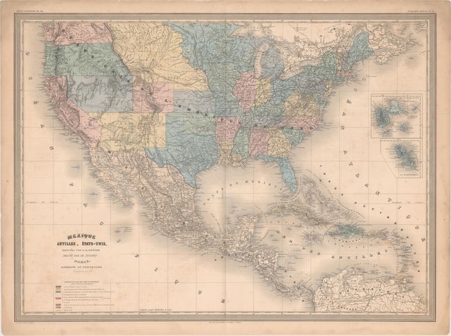
Subject: United States & Mexico

Period: 1863 (circa)

Publication: Atlas Universel

Color: Hand Color

Size:
29.6 x 21.7 inches
75.2 x 55.1 cm
Download High Resolution Image
(or just click on image to launch the Zoom viewer)

This French map depicts the United States, Mexico, Central America, and the Caribbean. Arizona occupies the southern portion of New Mexico Territory, suggesting a confederate territory. The southern tip of Nevada is part of New Mexico, and Idaho Territory is labelled but not delineated. Montana Territory extends to the Missouri River, incorporating some of the present-day Dakotas. Numerous Indian tribes are located throughout. There is good detail of roads and railroads. A color-coded key identifies the European colonial possessions. Two small insets depict the Caribbean islands of Guadeloupe and Martinique.

References:

Condition: B+

There is light scattered foxing, minor offsetting from the title, and a faint manuscript notation at center.

Estimate: $170 - $200

Sold for: $100

Closed on 6/14/2017

Archived