Catalog Archive
Auction 163, Lot 34
"North America", Morse & Breese
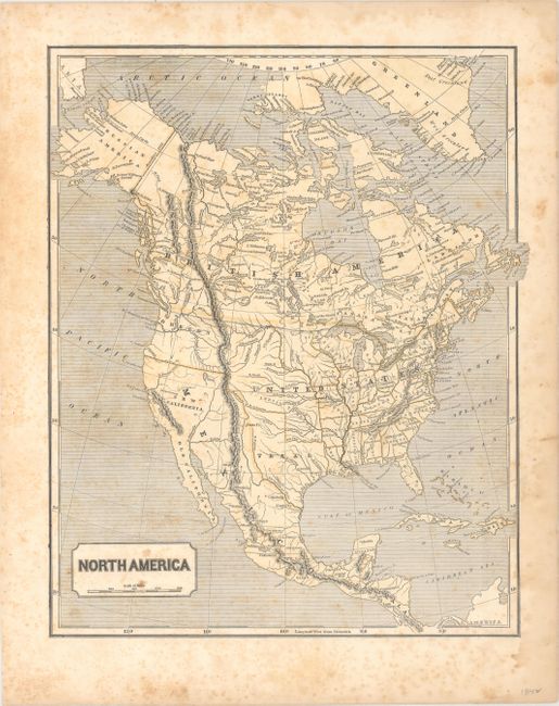
Subject: North America, Texas
Period: 1842 (circa)
Publication: Morse's North American Atlas...
Color: Printed Color
Size:
12.4 x 14.9 inches
31.5 x 37.8 cm
Download High Resolution Image
(or just click on image to launch the Zoom viewer)
(or just click on image to launch the Zoom viewer)