Catalog Archive
Auction 163, Lot 336

"Plat of the Seven Ranges of Townships Being Part of the Territory of the United States N.W. of the River Ohio...", Hutchins, Thomas (Capt.)

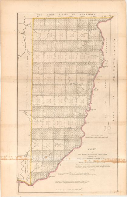
Subject: Eastern Ohio

Period: 1814 (circa)

Publication: Carey's General Atlas

Color: Hand Color

Size:
13.9 x 24.3 inches
35.3 x 61.7 cm
Download High Resolution Image
(or just click on image to launch the Zoom viewer)

An important early map of eastern Ohio completed under the direction of Thomas Hutchins, who was the first and only official Geographer to the United States. In accordance with the Land Ordinance of 1785, Hutchins conducted the first survey that divided public land into Ranges and Townships, but it was not until 1815 that the township plat, a "planimetric base map that laid down legal subdivisions in each township" assumed its modern form. This government land division approach became the standard throughout the Midwest, South, and West in the 19th century. This map is one of the first of its kind.

References: Phillips (Atlases) #722-28; cf. Wheat & Brun #677.

Condition: B

Issued folding with light toning and scattered foxing along the lower fold. There is a short fold separation confined to the right blank margin and an edge tear at top that has been closed on verso with archival tape.

Estimate: $500 - $650

Sold for: $375

Closed on 6/14/2017

Archived