Catalog Archive
Auction 163, Lot 334
"A Map of North Carolina from the Best Authorities", Morse, Jedidiah (Rev.)
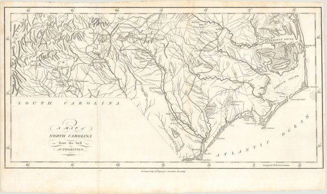
Subject: North Carolina
Period: 1794 (dated)
Publication: The American Geography
Color: Black & White
Size:
16.8 x 8.6 inches
42.7 x 21.8 cm
Download High Resolution Image
(or just click on image to launch the Zoom viewer)
(or just click on image to launch the Zoom viewer)