Catalog Archive
Auction 163, Lot 329

"New Jersey", Finley, Anthony
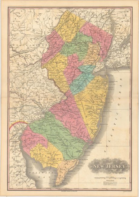
Subject: New Jersey

Period: 1836 (published)

Publication: A New General Atlas...

Color: Hand Color

Size:
12.6 x 18.4 inches
32 x 46.7 cm
Download High Resolution Image
(or just click on image to launch the Zoom viewer)

Finely's maps employ a delicate and elegant engraving style and provided extensive topographical and watershed information. He was the dominant map maker in the United States in the early 1820s into the 1830s. His atlases were very successful, outselling rival atlases by Carey & Lea, and Tanner. His maps were printed on high quality paper and were routinely corrected and updated.

This attractive map of the state is delineated by county in full original color and extends to include New York City and Philadelphia. The map depicts the early wagon road network with numerous towns and cities named, and topography and drainage is well represented. County configuration is current to the publication date. Engraved by Young & Delleker. While Ristow reports that Finley's atlases were published between 1824-1834, this map was only issued in the 1836 edition (the map is dated 1834). It also was published in pocket form and appeared in a book. An essential map for New Jersey collectors.

References: Ristow, pp. 268-70.

Condition: B+

Original color with faint offsetting and centerfold separations at right and left that extend 1.5" and 1" into the image respectively.

Estimate: $350 - $500

Sold for: $190

Closed on 6/14/2017

Archived