Catalog Archive
Auction 163, Lot 324

"Missouri [with title page and table of contents]", Burr/Illman
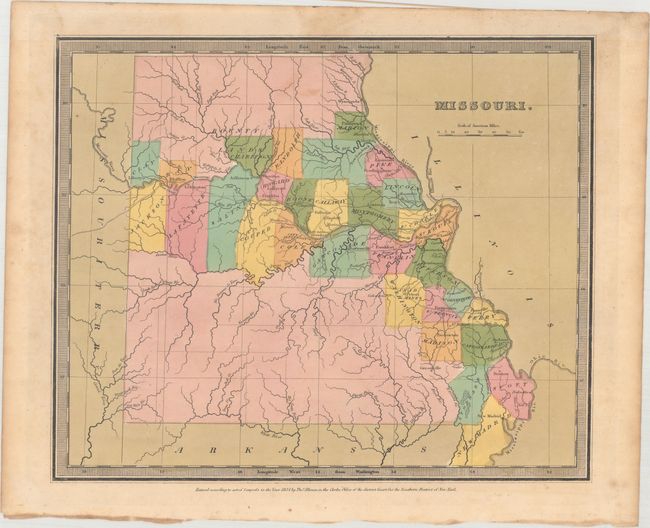
Subject: Missouri

Period: 1834 (dated)

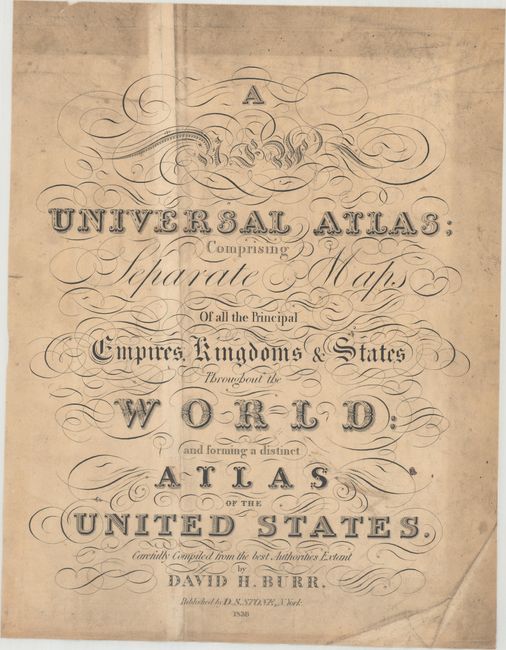
Publication: A New Universal Atlas...

Color: Hand Color

Size:
12.7 x 10.5 inches
32.3 x 26.7 cm
Download High Resolution Image
(or just click on image to launch the Zoom viewer)

This is an edition of Burr's map of Missouri with county organization and settlement limited to the regions along the Mississippi and Missouri Rivers. The map delineates roads, towns, villages and settlements, ports and watershed. The map shows approximately 30 counties. The state ends at about 94° 30" with the Missouri Territory extending to the west. The map is without a page number, which Rumsey notes as indicating the map is from an atlas that pre-dates the one held by the LOC. Burr was appointed to be topographer to the U.S. Post Office Department in 1832 and was unable to complete the maps for this atlas. Thomas Illman assumed responsibility to complete the atlas, publishing it in 1835 using the New York firm of D.S. Stone. The imprint of Thomas Illman is below the neatline.

This example is accompanied by the original title page and table of contents to the atlas.

References: Ristow, pp.94-96; Rumsey #4628.047.

Condition: B+

The map is in full original color with very light toning, minor soiling, and an archivally repaired tear that just enters the border at top. The title page is heavily soiled with several creases, and the table of contents has light soiling with a strip of heavy soiling along the right edge of the sheet.

Estimate: $200 - $230

Sold for: $150

Closed on 6/14/2017

Archived