Catalog Archive


Auction 163, Lot 322
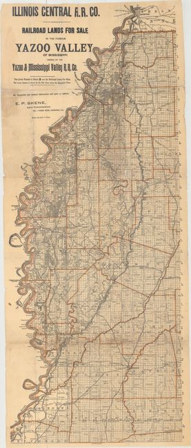
"Illinois Central R.R. Co. - Railroad Lands for Sale in the Famous Yazoo Valley of Mississippi...", Railroad Companies, (Various)

Subject: Mississippi
Period: 1897 (circa)
Publication:
Color: Printed Color
Size:
14.1 x 35.2 inches
35.8 x 89.4 cm
Download High Resolution Image
(or just click on image to launch the Zoom viewer)
(or just click on image to launch the Zoom viewer)