Catalog Archive
Auction 163, Lot 314

"Maryland", Lucas, Fielding
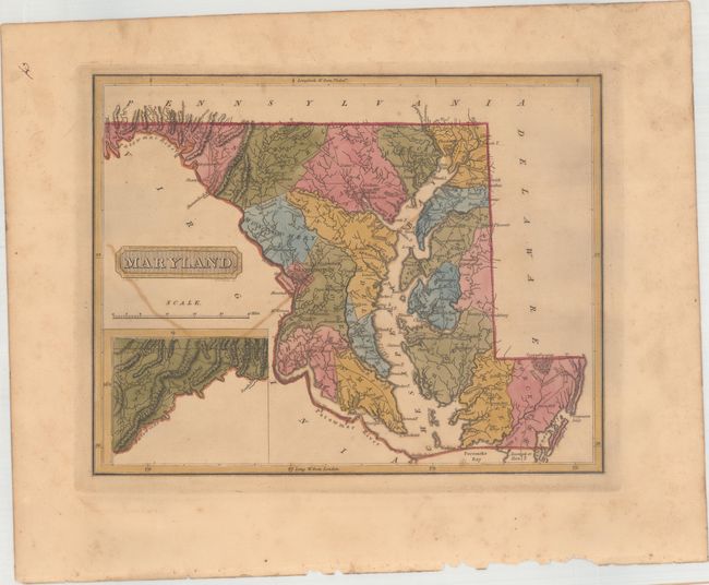
Subject: Maryland

Period: 1816 (circa)

Publication: A New and Elegant General Atlas...

Color: Hand Color

Size:
10.6 x 8.3 inches
26.9 x 21.1 cm
Download High Resolution Image
(or just click on image to launch the Zoom viewer)

This uncommon atlas map depicts Lucas's home state of Maryland. County configuration is current. Towns and cities, rivers, roads, mountains, and the Great Cypress Swamp are shown. Allegany County is detailed in an inset at bottom left. Drawn by Samuel Lewis and engraved by H.S. Tanner. Lucas' General Atlas is known as one of the finest general atlases produced in the U.S. at the time, due to the high quality paper, superior engraving quality, and attractive coloring style.

References: Phillips (Atlases) #3542-44.

Condition: B+

Full original color with light toning, offsetting from an opposing map page, and marginal soiling.

Estimate: $350 - $425

Sold for: $180

Closed on 6/14/2017

Archived