Catalog Archive
Auction 163, Lot 304

"[Untitled - Central Lousiana Showing Proposed Levees]", U.S. Government

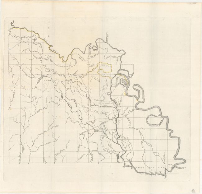
Subject: Central Louisiana

Period: 1835 (published)

Publication: HR Doc. 11, 24th Congress, 1st Session

Color: Hand Color

Size:
15.7 x 13.3 inches
39.9 x 33.8 cm
Download High Resolution Image
(or just click on image to launch the Zoom viewer)

This map includes fantastic detail of the bayous of central Louisiana. It highlights the proposed levees along the Red River and shows the Mississippi River below the mouth of the Atchafalaya River. It delineates a proposed Atchafalaya Railroad leading from Opelousas to the river. The Avoyelles Prairie High Land is identified south of the Red River. The map accompanied the report of Surveyor General H.T. Williams.

References: Claussen & Friis #104.

Condition: A

A dark impression, issued folding.

Estimate: $80 - $100

Unsold

Closed on 6/14/2017

Archived