Catalog Archive
Auction 163, Lot 303
"Map of Louisiana", Hardesty, Hiram H.
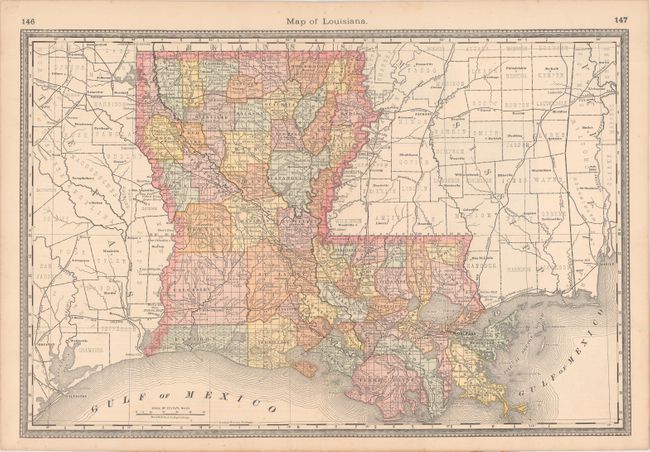
Subject: Louisiana
Period: 1884 (circa)
Publication: Hardesty's Historical and Geographical Encyclopedia...
Color: Printed Color
Size:
19.6 x 13.1 inches
49.8 x 33.3 cm
Download High Resolution Image
(or just click on image to launch the Zoom viewer)
(or just click on image to launch the Zoom viewer)