Catalog Archive
Auction 163, Lot 301

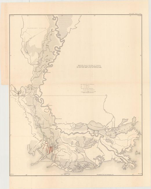
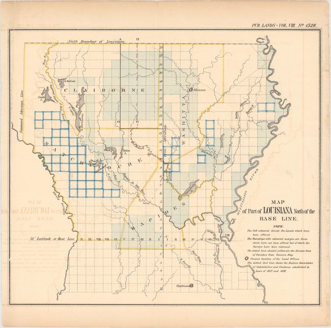
"[Lot of 2] Sketch of Part of the State of Louisiana Accompanying a Report of the Commissioner of the Genl. Land Office of the 12th of January 1829 [and] Map of Part of Louisiana North of the Base Line", General Land Office

Subject: Louisiana

Period: 1860 (circa)

Publication: American State Papers

Color: Hand Color

Size:
18.7 x 22.5 inches
47.5 x 57.2 cm
Download High Resolution Image
(or just click on image to launch the Zoom viewer)

This interesting lot features two maps of Louisiana published in the American State Papers.

A. Sketch of Part of the State of Louisiana Accompanying a Report of the Commissioner of the Genl. Land Office of the 12th of January 1829. This map details the watershed of southern Louisiana and highlights the drainage network of trenches and embankments along Lake Chetimaches (Grand Lake) and Lake Ponchartraine. It names New Orleans, Baton Rouge, and Natchez, Mississippi, along the Mississippi River. Condition: A clean and bright example, issued folding with minor offsetting. There is a binding trim at left with a short binding tear just passing the neatline that has been closed on verso with archival tape. (A)

B. Map of Part of Louisiana North of the Base Line. This striking map spans from the northern Louisiana border south to Opelousas. It depicts the counties of Natchitoches, Claiborne, and Rapides and locates land offices in Monroe and Opelousas. North of the Sabine River, a dotted line indicates the Supposed Mexican Line, or the boundary between Louisiana and present-day Texas. A key beneath the title identifies the meaning behind the hand-coloring. Reference: Phillips (M) p. 373. Condition: There is light offsetting and some toning mostly confined to the sheet's edges. (B+)

References:

Condition:

See description above.

Estimate: $120 - $150

Unsold

Closed on 6/14/2017

Archived