Catalog Archive
Auction 163, Lot 297

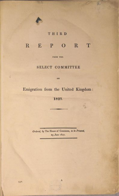
Rare Parliamentary Report Regarding Emigration from Britain to the United States

"Third Report from the Select Committee on Emigration from the United Kingdom", British Government
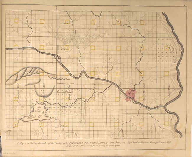
Subject: Louisiana

Period: 1827 (published)

Publication:

Color: Hand Color

Size:
8.5 x 13.3 inches
21.6 x 33.8 cm
Download High Resolution Image
(or just click on image to launch the Zoom viewer)

This rare Parliamentary report was a reaction to the great numbers of citizens emigrating from England, Ireland and Scotland. The select committee was formed to look into the issue, but in the end recommended that emigration should not be state aided. Much of the committee's interest was directed toward Ireland and to whether landlords could assist by clearing estates and giving free passages to their dispossessed tenants. The majority of the book is concerned with hearings and transcripts of testimony, the tone that at times is startling, to say the least. There are many similar examples, but consider this passage from page 257: "Are you aware of any new causes now operating in Ireland, that have a tendency to check this progressive increase of population? -- No, indeed I am not; I don't know of any." "Can you contemplate anything that can remedy the evil [of increasing populations], other than the removal of a certain portion of these unemployed persons? -- I do not think there is any other; I can think of no other." The emigration was focused on the United States, in this case Louisiana near the confluence of the Red and Mississippi Rivers. The Appendix lists Petitions by city and occupation "of Persons desirous of Emigrating from the Untied Kingdom," together representing thousands of individuals. The book includes five large folding maps showing land available. The maps are preceded by a copy of the US act making available for purchase lands at no less than $1.25 per acre to anyone.

The maps are by Charles Gordon, surveyed by G. Davis, Surveyor of Public Lands (United States) South of the State of Tennessee, and by Levon Wailes, Surveyor of Public Lands in the states of Louisiana & Mississippi. Each measures approximately 16" x 14" and uses hand coloring to indicate sold lands. The maps include:

Township 17, N. Range 14 East. Land District north of Red River in the State of Louisiana.

T.11 N. R. VIII. E. District North of Red River Louisiana.

Township 15, N. Range 1 East. Land District north of Red River, State of Louisiana.

Township 20 N. Range 13 East, Land District North of Red River in the State of Louisiana.

A Map, Exhibiting the Order of the Survey of the Public Land of the United States of North America. By Charles Gordon, Draughtsman. 1825. This map is purely illustrative. It demonstrates the Public Land Survey System (townships & ranges).

Published by order of the British House of Commons. Small folio, 2.25" thick. Hardbound in modern blue paper with dark blue cloth on spine. 658pp, title page, report with numerous tables and statistics, appendixes, maps, and index. This rare and unusual British government issued book is worthy of much study.

References:

Condition: A

The binding and contents are near fine. The maps are clean and bright with faint offsetting and a few tiny binding tears.

Estimate: $1,200 - $1,500

Sold for: $850

Closed on 6/14/2017

Archived