Catalog Archive
Auction 163, Lot 284

"Map of Illinois with Parts of Indiana, Wisconsin, &c. ", Burr, David H.
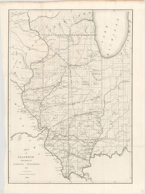
Subject: Illinois

Period: 1836 (dated)

Publication:

Color: Black & White

Size:
12.8 x 17.8 inches
32.5 x 45.2 cm
Download High Resolution Image
(or just click on image to launch the Zoom viewer)

This detailed map provides information on the counties, watershed, settlements, Indian villages and railroads. The proposed routes of the Illinois Central Railroad, Alton and Mount Carmel Railroad, Hillsboro Rail Road, Northern Cross Rail Road, and the Warsaw and Peoria Rail Road are shown. The Indian land boundary and the area ceded to the U.S. by the Sioux, Sac, and Fox nations are noted. Burr was a commercial cartographer and publisher of some note, in addition to being the Topographer to the Post Office and the Geographer to the House of Representatives.

References: Claussen & Friis #146.

Condition: A

Issued folding with a few faint spots.

Estimate: $180 - $210

Sold for: $100

Closed on 6/14/2017

Archived