Catalog Archive
Auction 163, Lot 226

"Geographisch-Statistische und Historische Charte von Missouri und Oregan", Weimar Geographisches Institut

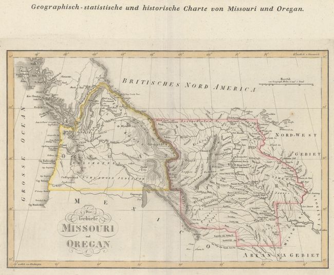
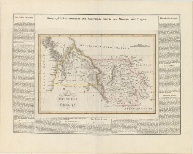
Subject: Northwestern United States

Period: 1828 (dated)

Publication: Atlas von Amerika

Color: Hand Color

Size:
15.4 x 10.4 inches
39.1 x 26.4 cm
Download High Resolution Image
(or just click on image to launch the Zoom viewer)

This scarce German map presents itself in a style similar to those from Carey & Lea's American Atlas, but is unique to this publication. It depicts the western United States from the Mississippi River to the Pacific Ocean, with Oregon Territory occupying the region west of the Continental Divide, and Missouri Territory occupying the region to its east above Arkansas Territory. In the Pacific Northwest, Oregon Territory extends well into Canada reflecting U.S. interests in the region. The map shows good detail of topography, the river systems, and names numerous Indian tribes. Surrounded on three sides by panels of German text (21.9 x 15.6") describing the features of the two territories.

References:

Condition: A

A nice impression on a clean sheet with a few tiny, faint spots.

Estimate: $600 - $800

Unsold

Closed on 6/14/2017

Archived