Catalog Archive
Auction 163, Lot 136
"Carte Generale du Theatre de la Guerre"
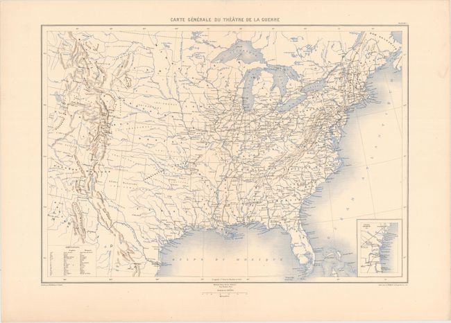
Subject: Eastern United States
Period: 1883 (circa)
Publication: Histoire de la Guerre Civile en Amerique
Color: Printed Color
Size:
20.4 x 14.4 inches
51.8 x 36.6 cm
Download High Resolution Image
(or just click on image to launch the Zoom viewer)
(or just click on image to launch the Zoom viewer)