Catalog Archive
Auction 163, Lot 124

"Map of the United States", U.S. Government

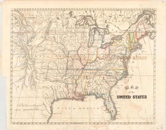
Subject: Eastern United States

Period: 1838 (published)

Publication: HR Doc. 2, 25th Congress, 3rd Session

Color: Hand Color

Size:
14.5 x 11.7 inches
36.8 x 29.7 cm
Download High Resolution Image
(or just click on image to launch the Zoom viewer)

In 1838 Congress was alerted to the fact that the small size of the military forces created grave vulnerability to hostile coastal and interior threats. This map show proposed interior stations for troops to reinforce where they were most likely to be needed for coastal defense. Significantly, it reflected the availability of early railway systems that could be used to quickly transport the troops and their supplies to coastal locations. Four forts are indicated near: St. Louis, MO; Augusta, GA; Harrisburg, PA; Lake Champlain, NY. The map also locates the Republic of Texas.

References: Claussen & Friis #292.

Condition: B

Issued folding, now flattened and backed in archival tissue with moderate offsetting and later hand coloring. There is a binding trim at bottom left, well away from the image.

Estimate: $100 - $130

Sold for: $75

Closed on 6/14/2017

Archived