Catalog Archive
Auction 163, Lot 121

"Carte des Etats-Unis et du Territoire Missouri", Heck, Johann Georg

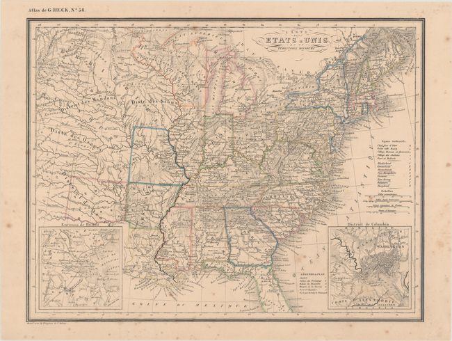
Subject: Eastern United States

Period: 1836 (circa)

Publication: Atlas Geographique, Astronomique et Historique...

Color: Hand Color

Size:
13.3 x 10.1 inches
33.8 x 25.7 cm
Download High Resolution Image
(or just click on image to launch the Zoom viewer)

This rare map extends west just shy of the Rocky Mountains. The states east of the Mississippi River are well delineated with information on cities, rivers, and topography. Just to the west of the Mississippi are the newest states of Missouri and Arkansas, which had just gained statehood in 1821 and 1836, respectively. The remainder of the west is marked as various Indian Districts, with numerous tribes named throughout. Two small insets depict a bird's-eye plan of Washington, DC and the area surrounding Boston, MA.

Johann Georg Heck was a German bookseller and publisher, lithographer, cartographer, geographer and author, who was best known for his work on the Bilder-Atlas zum Conversations-Lexikon (Illustrated Atlas for Conversations Lexicon). This map was published in Atlas Geographique..., Heck's only known atlas.

References:

Condition: B+

Original outline color with light scattered foxing.

Estimate: $200 - $230

Sold for: $125

Closed on 6/14/2017

Archived