Catalog Archive
Auction 162, Lot 795

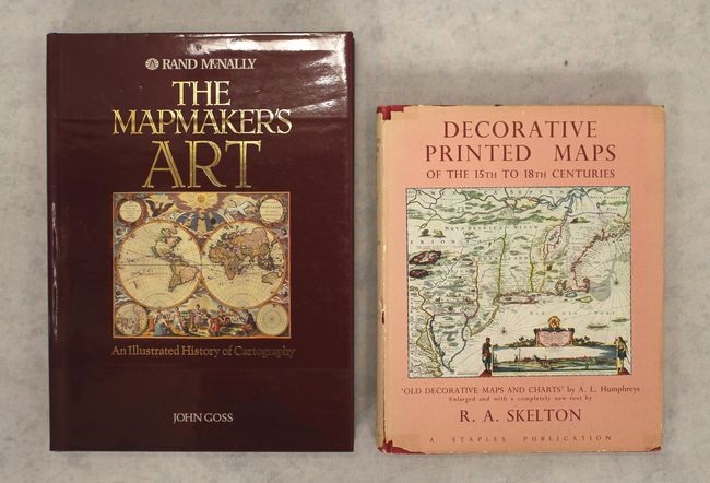
"[Lot of 2] The Mapmaker's Art - An Illustrated History of Cartography [and] Decorative Printed Maps of the 15th to 18th Centuries",

Subject: References

Period: 1952-93 (published)

Publication:

Color: Printed Color

Size:
See Description
Download High Resolution Image
(or just click on image to launch the Zoom viewer)

A. The Mapmaker's Art - An Illustrated History of Cartography, by John Goss, published 1993 (10.8 x 14.8"). With over 380 classic and exquisite illustrations, of which 300 are in color (and some foldouts), this book examines every aspect of cartography from the coastal charts carved on driftwood and bone by the Inuit people of Greenland to the trigonometrical methods employed by the Ordnance Survey in 19th century Britain. It offers a complete guide to more than 3,000 years of cartography. Hardbound in black buckram with title in gold on spine, dust jacket. 376 pp. One of the most beautiful books on maps ever produced. Condition: Like new with some negligible soiling. (A)

B. Decorative Printed Maps of the 15th to 18th Centuries, by R.A. Skelton, published 1952 (10.1 x 12.4"). First edition of this revised edition of Old Decorative Maps and Charts by A.L. Humphreys. Mr. Skelton was the Superintendent of the Map Room at the British Museum when he published this work. 84 images in color and b/w, 80 text pages. Hardbound in red cloth, titled in gilt on spine with a gilt windhead on the front cover. Includes an illustrated dust jacket. Condition: There is light toning and minor soiling in the text. The binding is somewhat loose. Covers have light shelf wear and soiling. The dust jacket is torn and chipped and nearly perished. (B)

References:

Condition:

See description above.

Estimate: $100 - $130

Sold for: $85

Closed on 4/26/2017

Archived