Catalog Archive
Auction 162, Lot 776

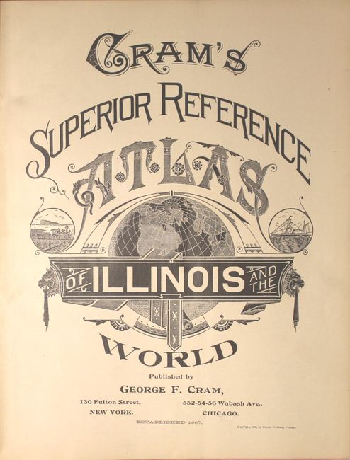
"Cram's Superior Reference Atlas of Illinois and the World", Cram, George F. & Company

Subject: Atlases

Period: 1906 (published)

Publication:

Color: Printed Color

Size:
12 x 14.9 inches
30.5 x 37.8 cm
Download High Resolution Image
(or just click on image to launch the Zoom viewer)
George Franklin Cram was a civil war veteran who marched with Sherman prior to his career as a map publisher. In 1867, George F. Cram and his uncle, Rufus Blanchard, founded the company Blanchard & Cram in Evanston, IL. The company manufactured and sold maps and atlases. Cram became the sole owner two years later and renamed it the George F. Cram Company. They sold a wide variety of atlases including the popular Unrivaled Atlas of the World which was printed continuously from the 1880s to 1952. In 1921, George Cram sold his business to one of his largest customers, E.A. Peterson of the National Map Company. The company is to this day producing quality maps and globes.

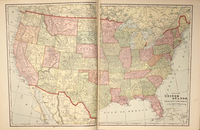
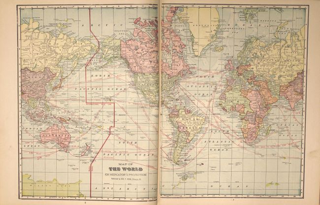
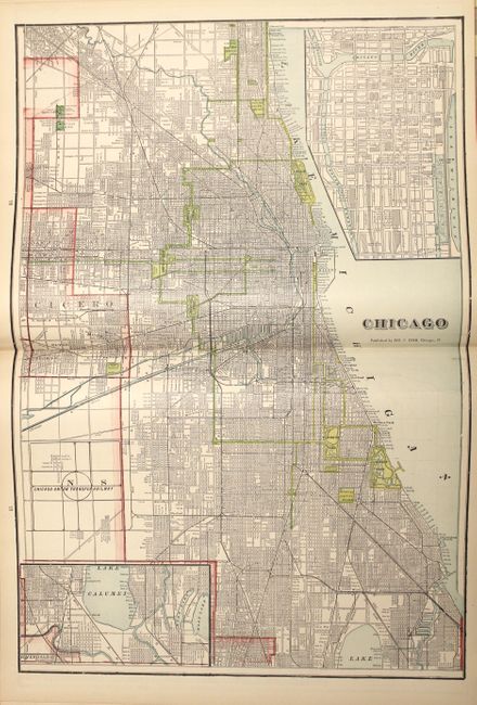
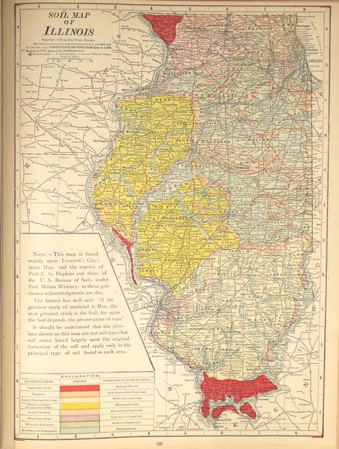
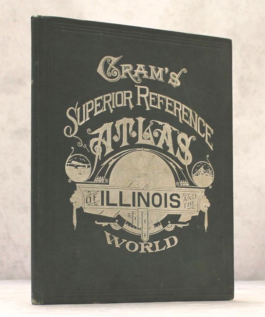
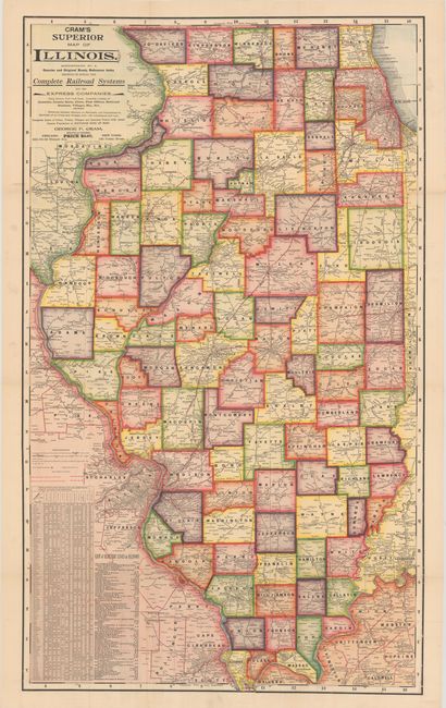
This is one of a series of atlases published early in the 20th century by the Cram company that highlights an individual state, and contains 40 double-page and 19 single-page maps of U.S. states, territories and the rest of the world. At the back of the volume are 5 maps and 24 pages of text and illustrations directly related to Illinois. Of particular interest is the huge (29 x 48"), boldly colored folding map of the state at the rear of the volume (no longer attached), showing county boundaries, railroads, cities and towns, and distances between railroad stations. Also includes double-page city maps of Chicago and St. Louis. The atlas is extensively illustrated with black & white photographs showing illustrations of Illinois, Hawaii, Puerto Rico and the Philippines among others. Further illustrations include three pages of presidential portraits, the Flags of the Various Nations and the Arms of Various Nations. 158 pages, hardbound in original green cloth with decorative silver titling on front.

References:

Condition: B+

Overall very good to near fine condition. Maps and text are clean and bright with just a hint of pleasant light toning. The large folding map at back is near fine with vivid color and only a few small separations at fold intersections. The text block has separated from the back cover and is loosely attached to the front cover. Light wear to extremities.

Estimate: $275 - $350

Sold for: $140

Closed on 4/26/2017

Archived