Catalog Archive
Auction 162, Lot 702
"[Lot of 2] Carte des Isles Maldives pour Servir a l'Histoire Generale des Voyages [and] Carte Particuliere des Isles Moluques", Bellin, Jacques Nicolas
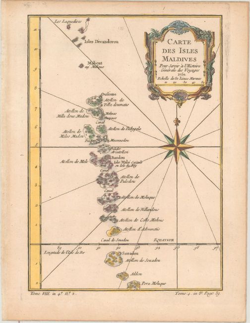
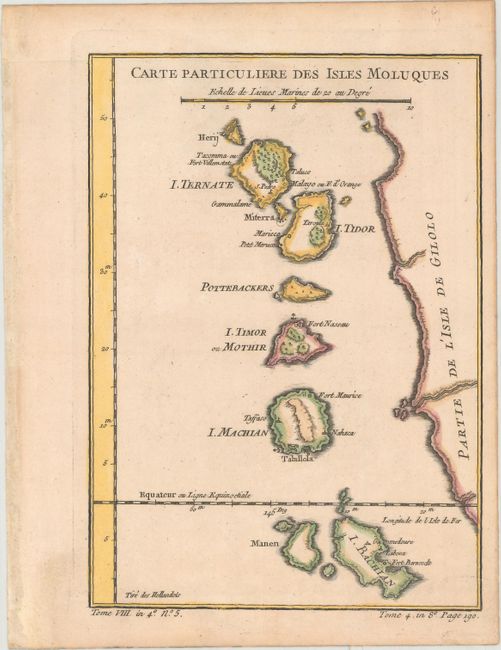
Subject: Maldives, Maluku Islands
Period: 1750 (dated)
Publication: La Harpe's Histoire Generale des Voyages
Color: Hand Color
Size:
6.1 x 8.6 inches
15.5 x 21.8 cm
Download High Resolution Image
(or just click on image to launch the Zoom viewer)
(or just click on image to launch the Zoom viewer)