Catalog Archive
Auction 162, Lot 483

"Carte du Cours de la Riviere de Seine Depuis l'Embouchure de la Riviere d'Andelle jusqu'a Rouen, pour l'Intelligence du Memoire de M. Bonamy...", Buache, Philip

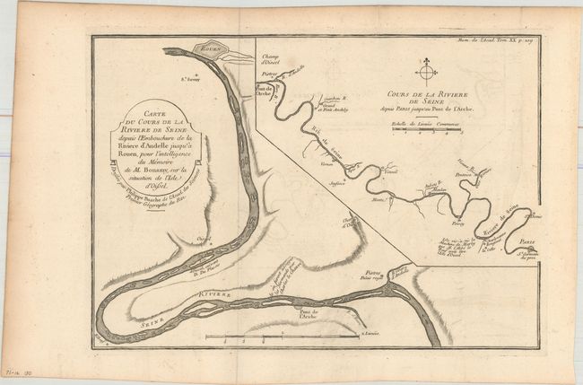
Subject: Northern France, Seine River

Period: 1753 (circa)

Publication:

Color: Black & White

Size:
11.8 x 8.2 inches
30 x 20.8 cm
Download High Resolution Image
(or just click on image to launch the Zoom viewer)

A simple, attractive map that shows the path of the Seine River. The main map image covers the river's path from just south of Pitres to Rouen, while a large inset map shows the river flowing from Paris to Pitres. A compass rose orients north to the left. The map is accompanied by a page of related text by M. Bonamy entitled Memoire sur l'isle d'oscelle ou d'oissel and was published in the twentieth volume of the French Academy of Sciences.

References:

Condition: B+

Issued folding with light offsetting.

Estimate: $100 - $130

Unsold

Closed on 4/26/2017

Archived