Catalog Archive
Auction 162, Lot 208

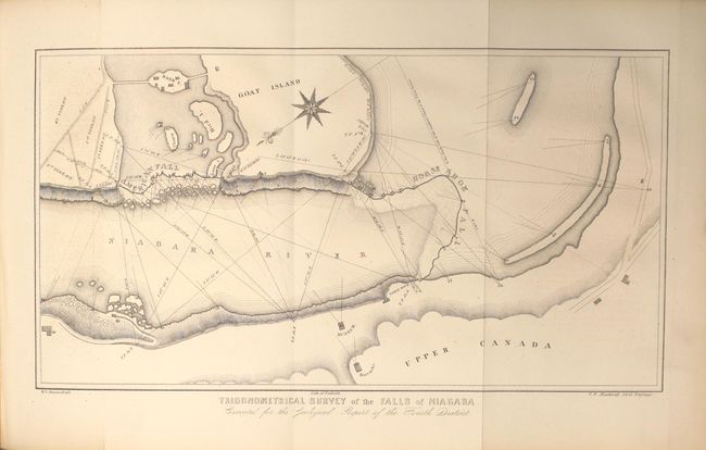
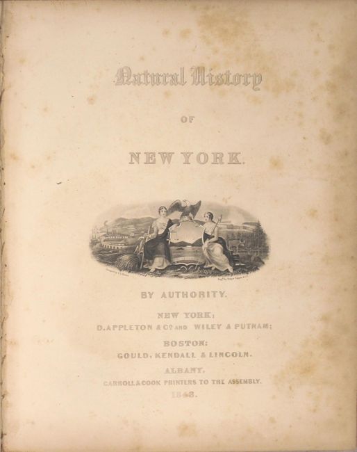
"Geological Map of the Middle and Western States [bound in] Geology of New-York. Part IV. Comprising the Survey of the Fourth Geological District", Hall, James

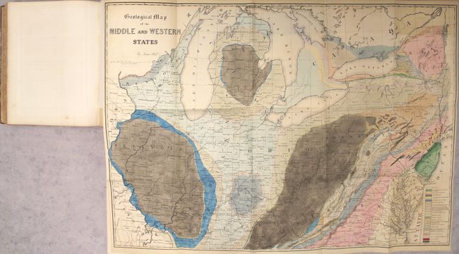
Subject: Central United States

Period: 1843 (published)

Publication:

Color: Hand Color

Size:
32 x 23 inches
81.3 x 58.4 cm
Download High Resolution Image
(or just click on image to launch the Zoom viewer)

This colorful lithographed geological map, produced by the eminent American geologist James Hall, blends science and the art of cartography. Twenty-three geological types are named and differentiated using hand applied color. The map covers the region of the United States from its western boundary along the Mississippi River, east to Long Island and the Atlantic. It includes all or parts of Wisconsin, Illinois, Missouri, Kentucky, Virginia, Indiana, Ohio, Michigan, Pennsylvania, New York, New Jersey, Maryland, and Delaware. The lakes Michigan, Huron, Erie and Ontario are shown. Lithographed by Endicott of New York and signed in the plate by James Hall. It employs the "New York System" of stratigraphic nomenclature developed by Hall and others at the New York Geological Survey. This system emphasized the importance of paleontology for delineating geological units and introduced the concept of "type locality," a primary reference location used for defining the characteristics of geological formations. This map is the first regional application of this new system, which evolved into the standard nomenclature used today for North America and much of the rest of the world.

The map is bound into the 683 page report, including 34 plates of tables with figure drawings of fossils; 24 lithographed plates of views, profiles and sections, including 4 b&w (3 folding), 8 tinted views, 12 folding, hand colored geologic profiles and the large, folding hand colored geologic map of the middle and western states. Quarto, hardbound in maroon quarter leather with tips over marbled boards.

References: Marcou & Marcou #32.

Condition: B+

Condition code is for the map which is very good with the typical faint color offsetting and a bit of uneven toning at top right where the map folds into the report. Plates are very good with light toning and an occasional spot of foxing. Text is clean, bright and fine. There is average wear to extremities, with the hinges starting and several cracks and abrasions to spine and covers.

Estimate: $275 - $350

Sold for: $300

Closed on 4/26/2017

Archived