Catalog Archive
Auction 161, Lot 700

"Oceanique. Partie de la Nouvelle Guinee. No. 22", Vandermaelen, Philippe Marie Guillaume

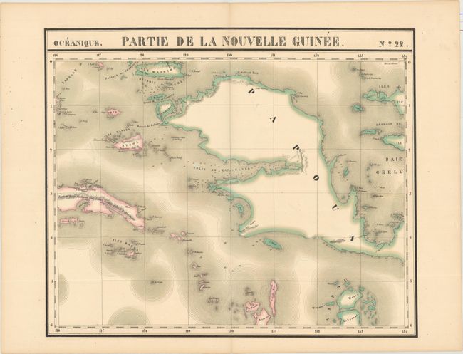
Subject: East Indies - Indonesia

Period: 1827 (circa)

Publication: Atlas Universel de Geographie...

Color: Hand Color

Size:
22.3 x 18.6 inches
56.6 x 47.2 cm
Download High Resolution Image
(or just click on image to launch the Zoom viewer)

Vandermaelen was the son of a wealthy industrialist who abandoned his father's business to follow a career in cartography. His goal was to produce the first atlas ever published in which every map was drawn on the same projection and to the same scale (1: 1,641,836), with each map covering an area of approximately 20 degrees of longitude (from Paris) and 6 degrees of latitude. Because of the consistent scale and projection, the maps could be joined together to form a huge globe that would measure over 25 feet in diameter. Vandermaelen had the only known globe constructed from his maps, requiring a special room for its display. It was also the first lithographic atlas ever published. There was one edition of the atlas, published in 1825-27, and the subscription list shows that only 810 copies were sold. Koeman called his Atlas Universel, "One of the most remarkable world atlases ever made. Far ahead of its time."

This fine, large-scale map depicts West Papua, the western end of New Guinea and includes several surrounding islands as well. This map is from the Atlas Universel, the first atlas to present all the maps on the same scale (1: 1,641,836), with each map covering an area of approximately 20 degrees of longitude (from Paris) and 6 degrees of latitude. The atlas was also the first lithographic atlas ever published. There was only one edition, published in 1825-27, and the subscription list shows that 810 copies were sold.

References:

Condition: A

Original color with one small hole near the center of the map.

Estimate: $160 - $190

Unsold

Closed on 2/8/2017

Archived