Catalog Archive
Auction 161, Lot 449

"Descripcion de las Yndias de Mediodia", Herrera y Tordesillas, Antonio de

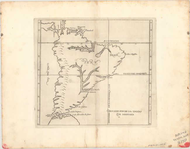
Subject: South America

Period: 1726 (circa)

Publication:

Color: Black & White

Size:
9.1 x 8.4 inches
23.1 x 21.3 cm
Download High Resolution Image
(or just click on image to launch the Zoom viewer)

Antonio de Herrera Y Tordelisllas was the official historian of Spain and the Indies. He compiled a history of the Spanish conquests and early explorations in the Americas, which included this simply engraved map of the continent. His work (Historia General de los Hechos de los Castellanos) was originally published in 1601 with several editions and translations thereafter, all of which are scarce. The map itself is largely derived from the manuscript charts of Juan Lopez de Velasco. Cartographically, the continent is dominated by the huge R. de los Amazona and R. de la Plato and the western mountain range. The Papal Line of Demarcation (Meridiano de la de Marcacion), which divided the non-Christian world between Spain and Portugal, divides the continent between Portugal’s tiny Brazil with the rest (Peru) belonging to Spain.

References:

Condition: B+

A nice impression with light extraneous creasing adjacent to the centerfold. There are minor ink stains confined to the bottom corners of the sheet, away from the map image.

Estimate: $400 - $475

Sold for: $250

Closed on 2/8/2017

Archived