Catalog Archive
Auction 161, Lot 435
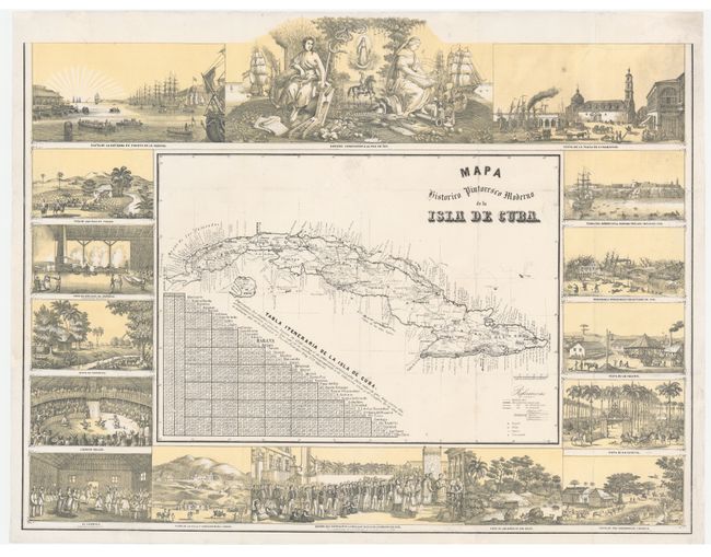
Rare Map of Cuba Surrounded by Vignettes
"Mapa Historico Pintoresco Moderno de la Isla de Cuba", May, Bernardo
Subject: Cuba
Period: 1853 (published)
Publication: Album Pintoresco de la Isla de Cuba
Color: Printed Color
Size:
22.5 x 17.2 inches
57.2 x 43.7 cm
Download High Resolution Image
(or just click on image to launch the Zoom viewer)
(or just click on image to launch the Zoom viewer)