Catalog Archive
Auction 161, Lot 381

"Central America Including Mexico, Texas and California", Philip, George

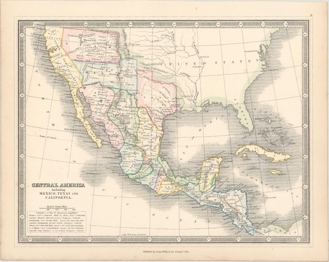
Subject: United States, Mexico & Central America

Period: 1852 (dated)

Publication: Library Atlas of Ancient and Modern Geography

Color: Hand Color

Size:
11.7 x 8.9 inches
29.7 x 22.6 cm
Download High Resolution Image
(or just click on image to launch the Zoom viewer)

This uncommon map depicts some interesting boundary lines. Published prior to the Gadsden Purchase, the map depicts the boundary between the US and Mexico along the Gila River in the far west, yet veers well south of the river around the area of present-day Phoenix. The western border of Texas is shown along the Rio Puerco instead of extending to the Rio Grande, and then extends north. Utah and New Mexico are also delineated, with Utah encompassing Nevada and New Mexico encompassing Arizona. The map includes good detail throughout Mexico, Central America, and the southwestern US, but is devoid of information in the eastern US. Surrounded in a keyboard-style border.

References:

Condition: A

Original color with minor toning along the edges of the sheet.

Estimate: $275 - $350

Sold for: $200

Closed on 2/8/2017

Archived