Catalog Archive
Auction 161, Lot 366

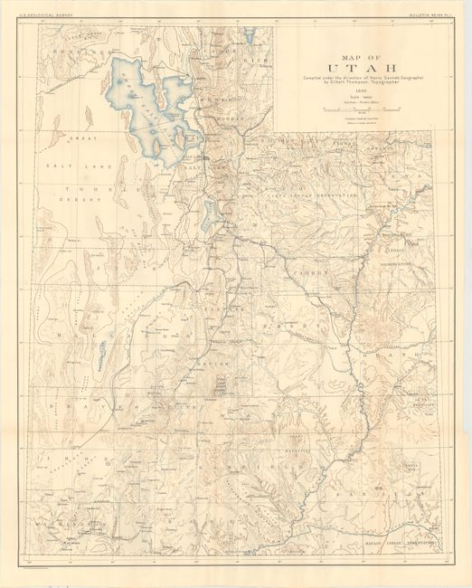
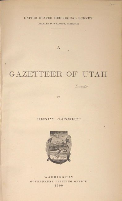
"Map of Utah [with] A Gazetteer of Utah", U.S. Geological Survey (USGS)

Subject: Utah

Period: 1899 (dated)

Publication:

Color: Printed Color

Size:
24.2 x 30.1 inches
61.5 x 76.5 cm
Download High Resolution Image
(or just click on image to launch the Zoom viewer)

A detailed map of the state with an emphasis on topography and drainage. Prominently shows the Great Salt Lake as well as Utah Lake to its south. Delineated by county, the map also shows the railroad network and Indian reservations. Drawn on a scale of 12 miles per inch. Accompanied by 43 pp. of text by Henry Gannett describing the climate, population and topography of the state. Octavo, hardbound in faux leather with tips over marbled boards.

References:

Condition: A

The map is clean and crisp with several tiny splits at fold intersections. Text is near fine and the new binding is pristine.

Estimate: $140 - $170

Sold for: $70

Closed on 2/8/2017

Archived