Catalog Archive
Auction 161, Lot 169

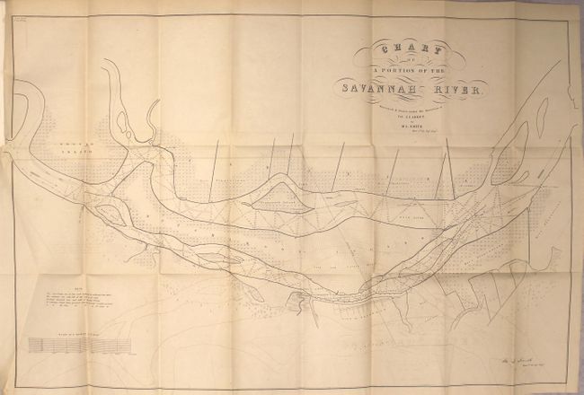
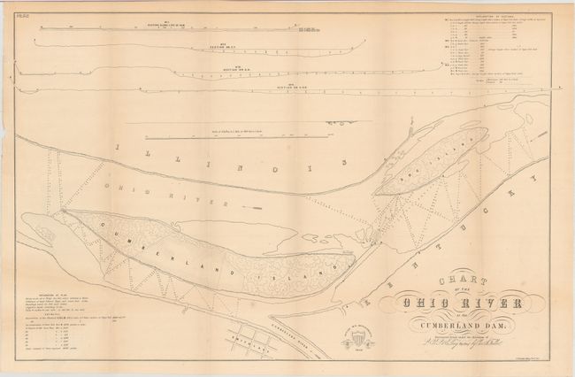
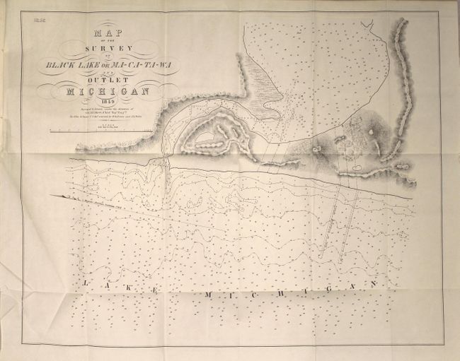
"[Report with 5 Maps] Chart of a Portion of the Savannah River... [with] Report of the Secretary of War Communicating a Copy of Lieut. Smith's Survey and Examination of the Savannah River", U.S. Corps of Engineers

Subject: Eastern United States

Period: 1850 (published)

Publication: 31st Congress, 1st Session

Color: Black & White

Size:
5.8 x 9.1 inches
14.7 x 23.1 cm
Download High Resolution Image
(or just click on image to launch the Zoom viewer)

This senate volume contains documents #13-14, 16, 19-21 and 25 from the 31st Congress, 1st session. Of particular interest is the large Chart of a Portion of the Savannah River (32.3 x 20.7") which charts the Savannah River adjacent to the city of Savannah. Several islands are shown including a large Hutchinson Island. The map is filled with detail, soundings in the river, and plantations along the shores (including the crop type). Surveyed and drawn by M.L. Smith under the direction of J.J. Albert and lithographed by C.B. Graham. This map is accompanied by Smith's 10 page report. Also included in the lot are maps depicting entrances into Lake Michigan and near the Cumberland Dam on the Ohio River. Octavo, hardbound in full congressional leather. The complete list of maps included are:

A. Chart of the Ohio River at the Cumberland Dam, (26.2 x 16.5").
B. Chart of a Portion of the Savannah River, (32.3 x 20.7").
C. Map of the Outlet of Lake Muskegon Michigan, (22.6 x 17.0").
D. Map of the Mouth of Grand River Michigan, (17.0 x 22.9").
E. Map of the Survey of Black Lake or Ma-Ca-Ta-Wa and Outlet Michigan, (21.8 x 17.3").

References:

Condition: B+

Condition code is for the maps which are very good with light toning and offsetting. Text is clean and bright with pencil notations on the pastedown. The binding has completely perished, and should be considered a collection of loose maps/text. Boards are present.

Estimate: $180 - $220

Unsold

Closed on 2/8/2017

Archived