Catalog Archive
Auction 161, Lot 168

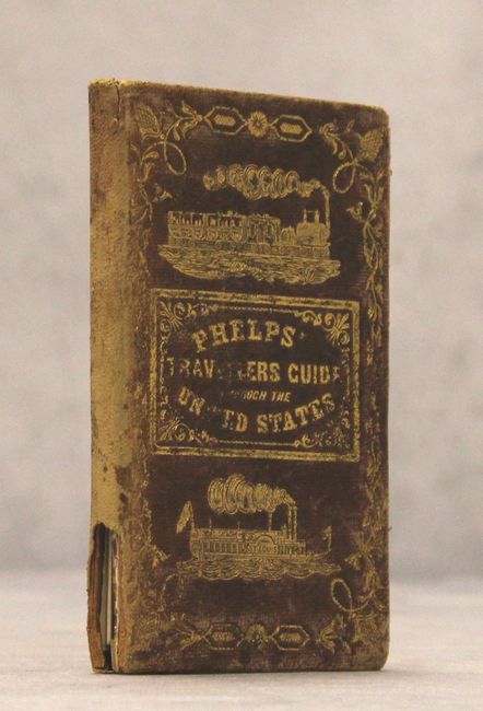
"Phelps's National Map of the United States, a Travellers Guide. Embracing the Principal Rail Roads, Canals, Steam Boat & Stage Routes, Throughout the Union", Phelps, Ensigns & Thayer

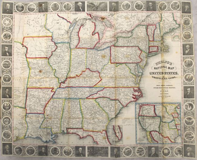
Subject: Eastern United States

Period: 1850 (dated)

Publication:

Color: Hand Color

Size:
25.8 x 20.4 inches
65.5 x 51.8 cm
Download High Resolution Image
(or just click on image to launch the Zoom viewer)

This is the fourth edition folding pocket map that extends to the Great Plains and includes part of Texas with Indian Territory and Nebraska Territory above. The map is filled with details including roads, towns and villages, railroads, rivers and much more. Delineates the Trader’s Route to Santa Fe in Missouri and through the territory to the west. Names numerous Indian tribes, Burial Grounds, and trading depots. It is embellished with a surrounding border featuring finely engraved portraits of 16 famous Americans, the seals of 30 states including Texas (but not California), the signing of the Declaration of Independence, and the seal of the United States. Includes the inset "Map of Oregon, California & Texas" at bottom which features Texas in its stovepipe configuration and California occupying the entire region to its west. The southern tip of Florida and the north part of Maine are shown in insets as well. Complete with the 70 page guide. Hardbound in reddish-brown leather (3.5 x 5.5") with an elaborate cover design embossed in gilt showing an early train and the steamship St. Louis.

References: Howes #P291.

Condition: B

A bright example with light toning and foxing, small stains, and several short splits at fold intersections resulting in minor loss of image. Text is lightly foxed and detached from the covers. Covers are worn and spine is chipped at bottom.

Estimate: $600 - $750

Sold for: $450

Closed on 2/8/2017

Archived