Catalog Archive
Auction 161, Lot 108

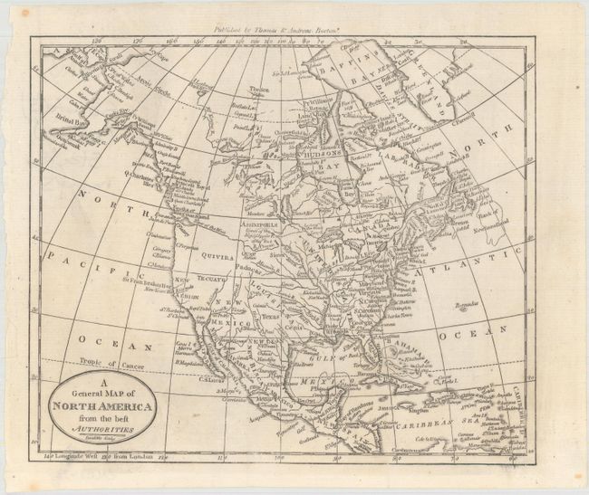
"[Lot of 2] North America from the Best Authorities [and] A General Map of North America from the Best Authorities",

Subject: North America

Period: 1799-1812 (circa)

Publication:

Color: Black & White

Size:
See Description
Download High Resolution Image
(or just click on image to launch the Zoom viewer)
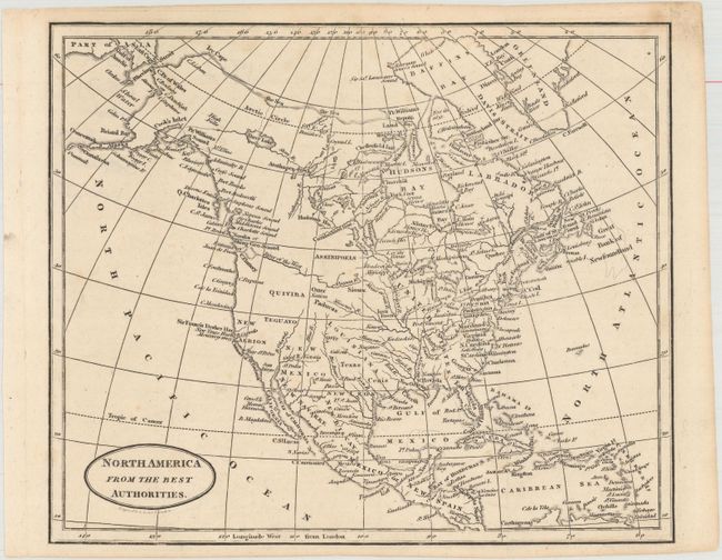
A. North America from the Best Authorities, by Benjamin Baker, circa 1812 (9.3 x 7.8"). This small map of North America is nearly identical to Amos Doolittle's map of the same region below. Florida is divided into East and West. Sir Francis Drake's Harbor is shown on the coast of present-day California which is labeled New Albion. A prominent River of the West flows into the Pacific at the Entrance of Juan de Fuca and an elaborate, appcryphal Northwest Passage links Hudson Bay with Prince William Sound through a laborious system of rivers and lakes in Canada.

B. A General Map of North America from the Best Authorities, by Amos Doolittle, circa 1799 (8.8 x 7.4"). This small map of North America shows a mostly blank Great Basin, and a long River of the West extending from the Entrance of Juan de Fuca eastward nearly to the Mississippi River. The map has good watershed detail, locates the source of the Mississippi River, and names some Indian tribes, forts, etc. Texas (Cenis) is located within the huge Louisiana Territory, but not delineated. Published by Thomas & Andrews, Boston.

References:

Condition: A

Dark impressions with a only a few faint spots. Issued folding.

Estimate: $150 - $180

Sold for: $110

Closed on 2/8/2017

Archived