Catalog Archive
Auction 160, Lot 596
"A Map of Italy with Its Kingdoms, States &c. from the Latest & Best Observations", Seale, Richard William
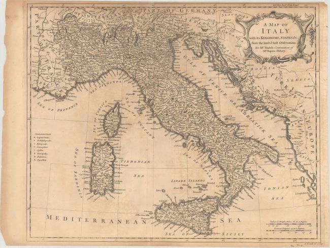
Subject: Italy
Period: 1733 (circa)
Publication: Tindal's Continuation of Mr. Rapin's History
Color: Black & White
Size:
18.5 x 15 inches
47 x 38.1 cm
Download High Resolution Image
(or just click on image to launch the Zoom viewer)
(or just click on image to launch the Zoom viewer)