Catalog Archive
Auction 160, Lot 414
"Martinico to France [on sheet with] Dominica to Britain", Philip, George
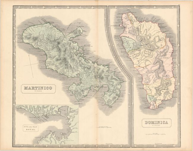
Subject: Martinique & Dominica
Period: 1853 (circa)
Publication: New General Atlas
Color: Hand Color
Size:
23.9 x 20.1 inches
60.7 x 51.1 cm
Download High Resolution Image
(or just click on image to launch the Zoom viewer)
(or just click on image to launch the Zoom viewer)