Catalog Archive
Auction 160, Lot 408
"Map of the Leeward Islands; Comprising Antiqua, Montserrat, Barbuda, St. Christopher, Nevis, Anguilla, Virgin Islands & Dominica…", Arrowsmith, John
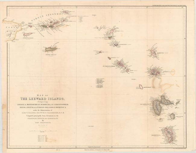
Subject: Lesser Antilles
Period: 1839 (dated)
Publication: Papers Relating to the Labouring Population of the West Indies
Color: Hand Color
Size:
23 x 18.3 inches
58.4 x 46.5 cm
Download High Resolution Image
(or just click on image to launch the Zoom viewer)
(or just click on image to launch the Zoom viewer)