Catalog Archive
Auction 160, Lot 371
"Bay et Chateau de Porto Bello", Aa, Pieter van der
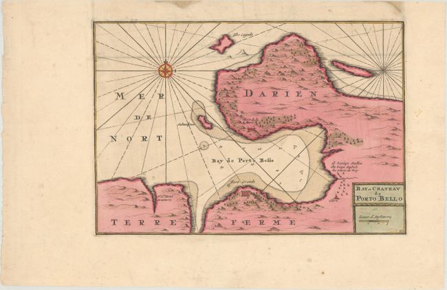
Subject: Portobelo Bay, Panama
Period: 1729 (circa)
Publication:
Color: Hand Color
Size:
12.5 x 8.6 inches
31.8 x 21.8 cm
Download High Resolution Image
(or just click on image to launch the Zoom viewer)
(or just click on image to launch the Zoom viewer)