Catalog Archive
Auction 160, Lot 337
NO RESERVE
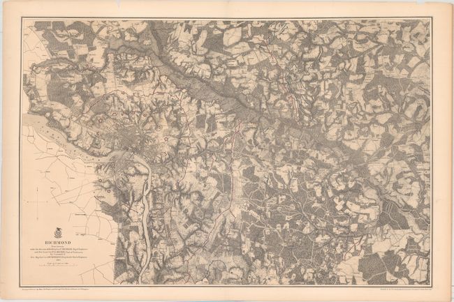
"Richmond from Surveys Under the Direction of Bvt. Brig. Gen. N. Michler...", U.S. War Department
Subject: Virginia, Civil War
Period: 1867 (dated)
Publication:
Color: Hand Color
Size:
33.1 x 21.7 inches
84.1 x 55.1 cm
Download High Resolution Image
(or just click on image to launch the Zoom viewer)
(or just click on image to launch the Zoom viewer)