Catalog Archive
Auction 160, Lot 255
"Map of Colorado Territory, and Northern Portion of New Mexico Showing the System of Parcs", Gilpin, William
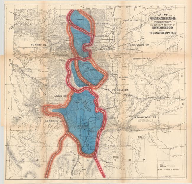
Subject: Colorado
Period: 1874 (circa)
Publication: Mission of the North American People, Geographical, Social and Political
Color: Hand Color
Size:
21.1 x 20.4 inches
53.6 x 51.8 cm
Download High Resolution Image
(or just click on image to launch the Zoom viewer)
(or just click on image to launch the Zoom viewer)