Catalog Archive
Auction 160, Lot 232
"Johnson's Washington Oregon and Idaho", Johnson & Ward
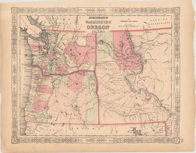
Subject: Northwestern United States
Period: 1863-64 (circa)
Publication:
Color: Hand Color
Size:
15.6 x 12.8 inches
39.6 x 32.5 cm
Download High Resolution Image
(or just click on image to launch the Zoom viewer)
(or just click on image to launch the Zoom viewer)