Catalog Archive
Auction 160, Lot 105

NO RESERVE

"Amerique Septentrionale", Monin, Charles V.

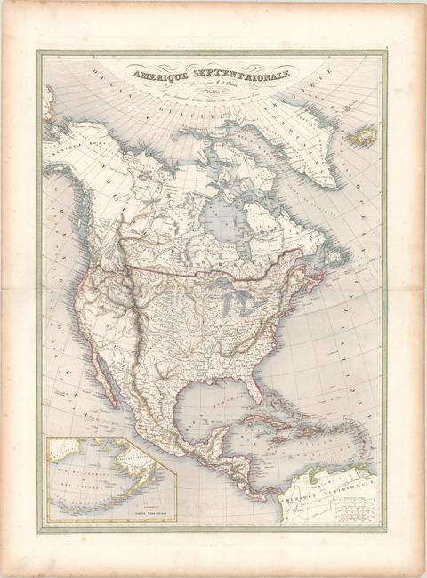
Subject: North America

Period: 1835 (circa)

Publication: Atlas Classique Et Universel De Geographie Ancienne Et Moderne

Color: Hand Color

Size:
18.5 x 25.3 inches
47 x 64.3 cm
Download High Resolution Image
(or just click on image to launch the Zoom viewer)

This large map of North America shows Mexico in control of the Southwest and numerous Indian districts throughout central and northwest United States. An inset depicts Alaska and the Bering Sea. The northern border of the United States reflects British interests to the west, extending well into present-day Washington state. The eastern half of the border between the United States and Canada appears to have been colored incorrectly, with the border extending well north of the Great Lakes and the St. Lawrence River.

References:

Condition: B+

Light offsetting with a few spots of foxing and toning along the edges of the sheet.

Estimate: $200 - $230

Sold for: $65

Closed on 11/16/2016

Archived