Catalog Archive
Auction 159, Lot 792
NO RESERVE
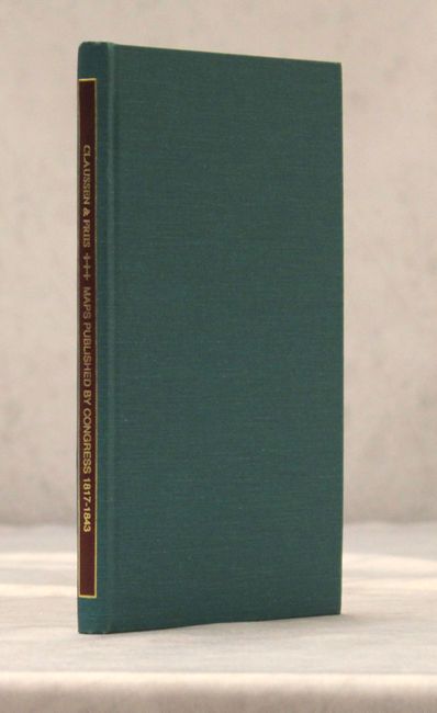
"Descriptive Catalog of Maps Published by Congress 1817-1843",
Subject: References
Period: 1997 (published)
Publication:
Color: Black & White
Size:
5.6 x 8.6 inches
14.2 x 21.8 cm
Download High Resolution Image
(or just click on image to launch the Zoom viewer)
(or just click on image to launch the Zoom viewer)