Catalog Archive
Auction 159, Lot 781

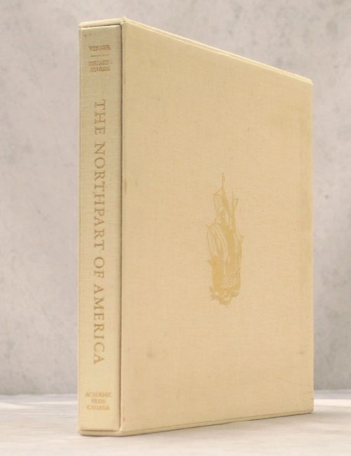
"The Northpart of America", Verner & Stuart-Stubbs

Subject: References

Period: 1979 (published)

Publication:

Color: Printed Color

Size:
16.3 x 14.1 inches
41.4 x 35.8 cm
Download High Resolution Image
(or just click on image to launch the Zoom viewer)

This is the definitive cartographic reference work on Canada, but is equally relative to North America. It provides a carto-bibliography of maps published between the 16th (Forlani) and the 19th (Arrowsmith) centuries. The book is divided into seven sections:

Part I: The World In 1562
Part II: Initial Exploration and Settlement 1556-1693
Part III: The Period of Expansion - Eastern Canada 1703-1843
Part IV: Exploring And Settling Central Canada 1597-1819
Part V: The Arctic 1595-1875
Part VI: Opening The Pacific Northwest 1566-1871
Part VII: The Culmination 1858

The appendix contains detailed descriptions of the maps reproduced, together with notes about other maps related to them. 304 pp. including 46 maps (5 in color). Frontis is hand-numbered 882 of a limited edition of 1500 and signed by the authors. Pictorial, gold-stamped cloth over boards, housed in a matching slipcase.

References:

Condition: A

Contents and covers fine with light soiling on the slipcase.

Estimate: $160 - $190

Sold for: $140

Closed on 9/14/2016

Archived