Catalog Archive
Auction 159, Lot 508

"Poloniae Finitimarumque Locorum Descriptio. Auctore Wenceslao Godreccio Polono", Ortelius, Abraham

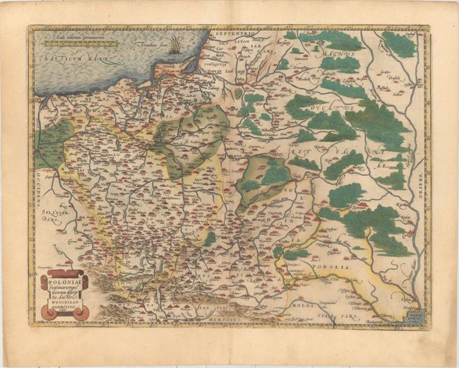
Subject: Eastern Europe, Poland

Period: 1592 (published)

Publication: Theatrum Orbis Terrarum

Color: Hand Color

Size:
19.5 x 14.7 inches
49.5 x 37.3 cm
Download High Resolution Image
(or just click on image to launch the Zoom viewer)

This is Ortelius' first map of the region, covering all of Poland and extending into Lithuania and Russia in the north and to the Black Sea in the south. The map is based on the cartography of Grodecki (1558 & 1562), which was in turn based on the work of Wapovsky (1526). The map is filled with cities and the forests are boldly depicted. Latin text on verso.

References: Van den Broecke #154.

Condition: A

Full original color on watermarked paper with minor toning and marginal soiling.

Estimate: $800 - $950

Sold for: $600

Closed on 9/14/2016

Archived