Catalog Archive
Auction 159, Lot 454
NO RESERVE
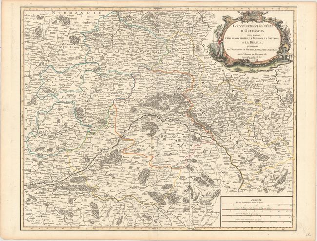
"Gouvernement General d'Orleanois, ou se Trouvent l'Orleanois Propre, le Blaisois, le Gatinois, et la Beauce, qui Comprend le Vendomois, le Dunois, et le Pays Chartrain", Robert de Vaugondy, Didier
Subject: Central France
Period: 1753 (dated)
Publication: Atlas Universel
Color: Hand Color
Size:
23.1 x 18.9 inches
58.7 x 48 cm
Download High Resolution Image
(or just click on image to launch the Zoom viewer)
(or just click on image to launch the Zoom viewer)