Catalog Archive
Auction 159, Lot 404
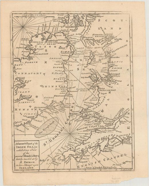
"A Correct Chart of the Irish Sea, &c Exhibiting a View of the Several Islands & Bays, Lately Touch'd at by M. Thurot, in His Attempt upon Ireland", Gibson, John
Subject: Britain
Period: 1760 (published)
Publication: Gentleman's Magazine
Color: Black & White
Size:
7.1 x 9.3 inches
18 x 23.6 cm
Download High Resolution Image
(or just click on image to launch the Zoom viewer)
(or just click on image to launch the Zoom viewer)