Catalog Archive
Auction 159, Lot 154
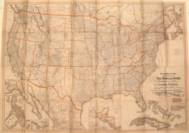
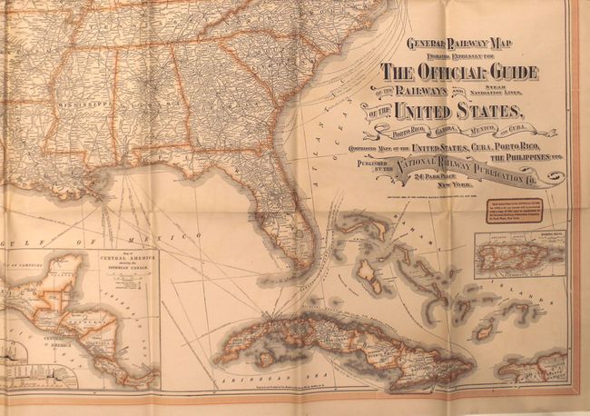
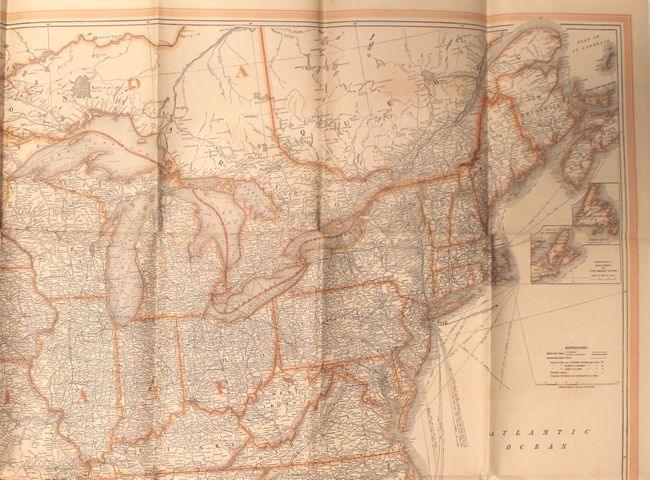
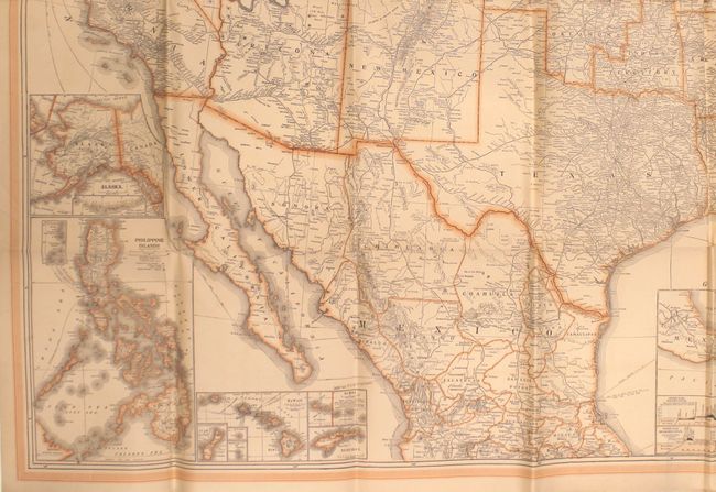
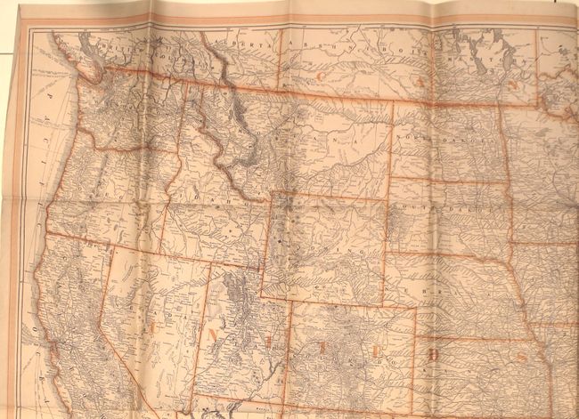
"General Railway Map Engraved Expressly for the Official Guide of the Railways and Steam Navigation Lines, of the United States, Porto Rico, Canada, Mexico, and Cuba...", Matthews-Northrup Co
1 of 5
Subject: United States
Period: 1903 (dated)
Publication:
Color: Printed Color
Size:
52.6 x 36.2 inches
133.6 x 91.9 cm
Download High Resolution Image
(or just click on image to launch the Zoom viewer)
(or just click on image to launch the Zoom viewer)