Catalog Archive
Auction 159, Lot 118
"Partie du Fleuve St. Laurent avec le Passage de la Traverse et les Isles Voisines", Bellin, Jacques Nicolas
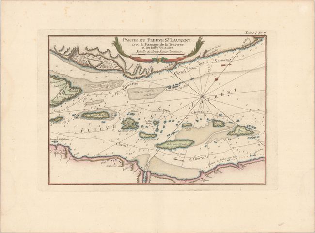
Subject: St. Lawrence River, Canada
Period: 1764 (published)
Publication: Le Petit Atlas Maritime
Color: Hand Color
Size:
11.9 x 8.3 inches
30.2 x 21.1 cm
Download High Resolution Image
(or just click on image to launch the Zoom viewer)
(or just click on image to launch the Zoom viewer)