Catalog Archive
Auction 158, Lot 93
"Nova Virginiae Tabula", Cloppenburg, Johannes
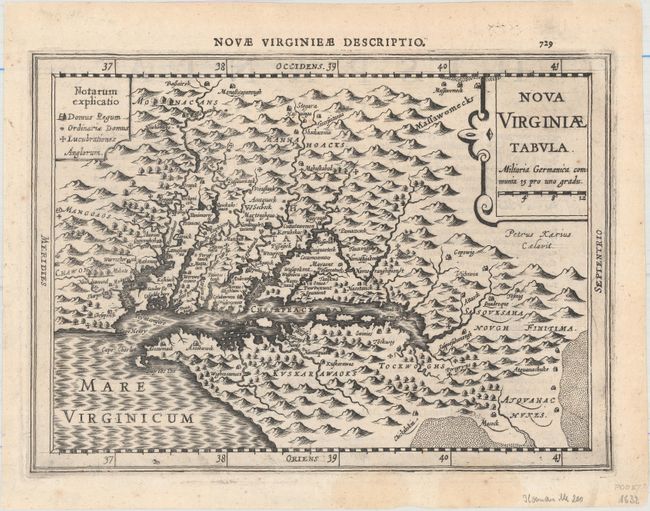
Subject: Colonial Mid-Atlantic United States
Period: 1632 (published)
Publication: Gerardi Mercatoris Atlas sive Cosmographicae…
Color: Black & White
Size:
10.1 x 7.3 inches
25.7 x 18.5 cm
Download High Resolution Image
(or just click on image to launch the Zoom viewer)
(or just click on image to launch the Zoom viewer)